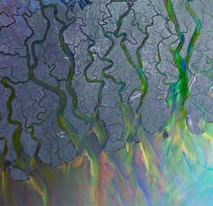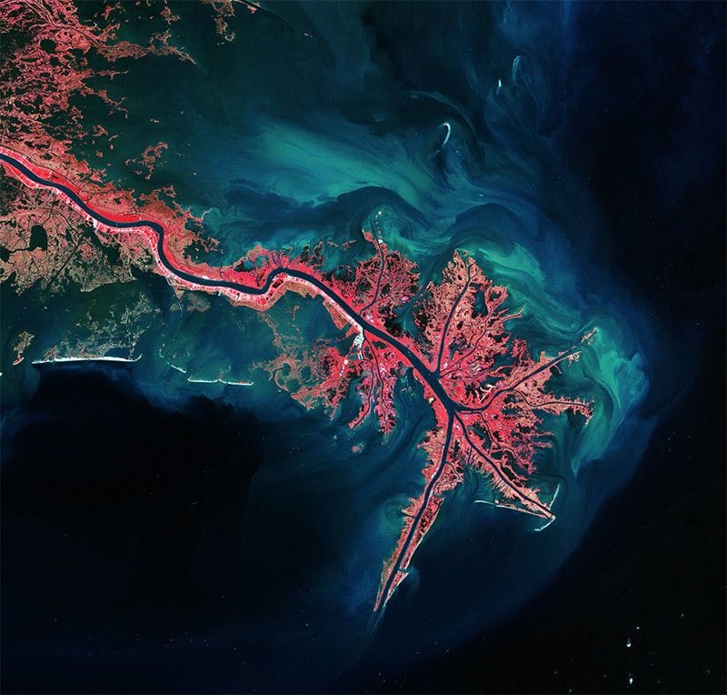

Mississippi River Delta, 2012
ESA
This Landsat image of 3 October 2011 shows the Mississippi River Delta, where the largest river in the United States empties into the Gulf of Mexico. In this false-colour image, land vegetation appears pink, while the sediment in the surrounding waters are bright blue and green.
ESA supports the Landsat series as a Third Party Mission, meaning it uses its ground infrastructure and expertise to acquire, process and distribute Landsat data to users.
Uploaded on by Ashley Buerkett
ESA
artistArthur
Wait what?
