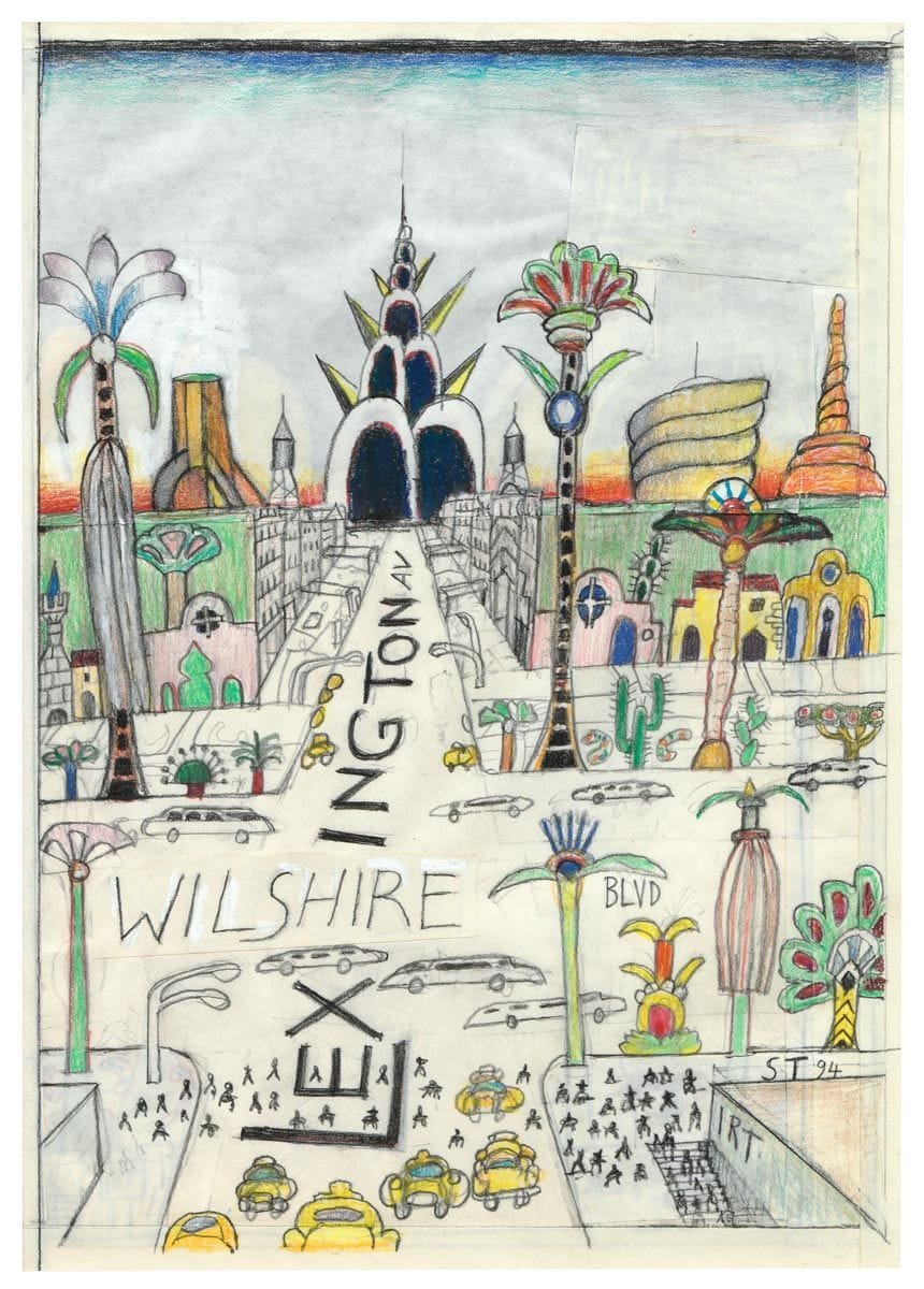

Lexington and Wilshire, 1994
Saul Steinberg
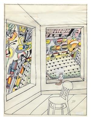
Original drawing for The New Yorker cover, February 13, 1995. Lexington and Wilshire I, 1994. Private collection.
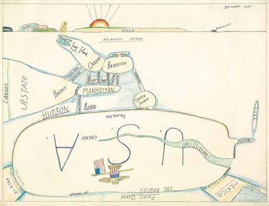
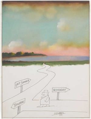
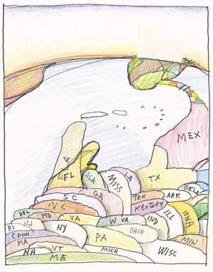
“In Wilshire & Lex, the boulevards of Los Angeles and Manhattan intersect. Here the planet is shrunk not by local chauvinism but by the corrupting influence of New York money and Hollywood dreams. Ultimately, Steinberg regarded citizens of the 20th century as ‘victims of an immense prank, which has lasted perhaps since the year of my birth, 1914.
(http://saulsteinbergfoundation.org/essay/view-of-the-world-from-9th-avenue/)
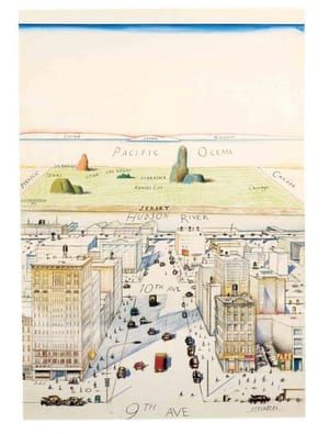
...Since the 1950s, Steinberg’s cover illustrations for the New Yorker magazine have provided a running guide to America’s changing perspective on the world. Of course, Steinberg is not known as a mapmaker. Most bona fide car- tographers would dismiss his street scenes of New York as "pictures" (about as harsh a professional rebuke as you can make). But his most famous cover illustration, the New Yorker’s view of New York, and a recent successor showing New York’s Lexington Ave. crossing Wilshire Boulevard in Los Angeles, are nonetheless powerful mental maps. Drawn almost 20 years apart, the illustrations show two very different worlds. The first, published on March 29, 1976, is parochial and, from a geographical standpoint, neatly ordered from East to West. In the foreground is lower Manhattan, but it could be any local neighborhood. (This largely accounts for the innumerable knockoffs of Steinberg’s graphic.) Beyond its borders, only a few land-marks are known and foreign nations, even the most popu- lous on Earth, are no more than small clouds on the horizon.
The perspective in the second illustration (published February 13, 1995) is strikingly different. Here geography has somehow come unstuck; around the corner is across the continent. East and West have become one and the same. Everything is on top of everything else; it is all local and nothing really exists.... (http://twentyfiveyears-assets.telegeography.com/TeleGeography-1995.pdf)
© 1994 Saul Steinberg
Saul Steinberg
artistArthur
coming soon
